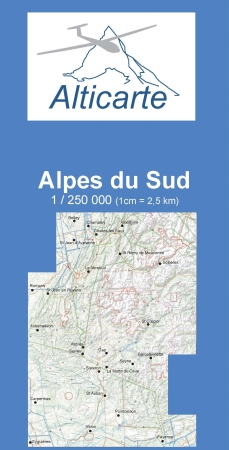
Gliderchart South France 2026

Product no.: 48-10100
Shipping time: 3-4 Days
If there is more than one product image, you can use the "Previous" and "Next" buttons to navigate between the images. For a larger view click on the image.
Gliderchart South France 2026
For a larger view click on the image!
22,00 EUR
7 % VAT incl. excl. Shipping costs

Products description

The standard-map for glider pilots for the French alps
A map that (finally) shows the landscape, restricted zones and airfields with altitudes and frequencies, outlanding areas indexed in the catalog, turning points.
It covers the French Alps from Fayence to Chambery and from the Italian border to Aubenasson (Diois).
Scale :1:250 000

Customers who bought this product also bought the following products:
A product slider follows - navigate to the individual items using the Tab key.
ICAO-Glider map Munich 2026 paper version
ICAO-Glider map Stuttgart 2026 paper version
ICAO-Segelflugkarte Frankfurt 2026 paper version
Cord Cushion-Cover CORD NAVY BLUE
IMPACTFOAM 25 mm, Size 410mm x 460mm
Sale
Gliderpilots Hat Size L/XL
Last viewed:
A product slider follows - navigate to the individual items using the Tab key.
Gliderchart South France 2026
Rogersdata VFR Karte Germany North wall chart 2025
Rogersdata VFR Karte Denmark 500k 2025
Subscribe to our newsletter
Free exclusive offers and new products by email

Our newsletter is free of charge and can be canceled at any time here or in your customer account.

Languages

Shipping country
Languages
Deutsch English French Italian

Your account

Customer group: Guest
Product discount 15.00%