
Products description
The standard-map for glider pilots for the French alps
A map that (finally) shows the landscape, restricted zones and airfields with altitudes and frequencies, outlanding areas indexed in the catalog, turning points.
It covers the French Alps from Fayence to Chambery and from the Italian border to Aubenasson (Diois).
Scale :1:250 000
Customers who bought this product also bought the following products:
A product slider follows - navigate to the individual items using the Tab key.

ICAO chart France South-East 2026
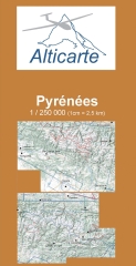
Gliderchart Pyrenees 2026

flare tip EDS nose cannula
Polyurethan-Schlauch 4 x 2,5 mm, rot
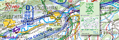
Gliderchart Swiss 2026

Bö-Maxi-Tape 19mm
Last viewed:
A product slider follows - navigate to the individual items using the Tab key.
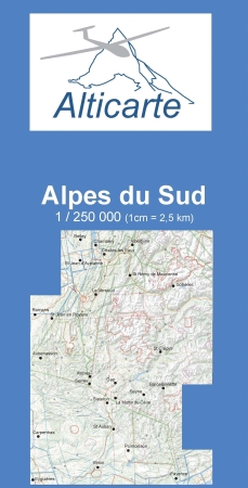
Gliderchart South France 2026


