Products description
The OFMA gliding route map 1:500,000 fulfils all the wishes and needs of glider pilots. With its clear topographical representation and up-to-date air traffic control information, it offers significantly more safety and flexibility in gliding than previous classic charts.
All chart data is up-to-date at the time of printing.
The glider map also fulfils the special needs of aerodrome, cross-country and competition glider pilots and has the following additional features in addition to all important topography and air traffic control information:
All chart data is up-to-date at the time of printing.
The glider map also fulfils the special needs of aerodrome, cross-country and competition glider pilots and has the following additional features in addition to all important topography and air traffic control information:
- Altitude information on airspaces in metres (also in FL for FL flight altitudes)
- Altitude information on aerodromes and obstacles in feet
- Display of public gliding sectors in C-/D- and TMZ airspaces
- Depiction of parachute jumping zones
- Airspaces of all neighbouring countries as far as they are located on the map section
- A clear legend of all symbols on the map
- All aerodrome runway lengths and the surface (grass/concrete/asphalt)
- Frequencies of the public gliding sectors
Customers who bought this product also bought the following products:
A product slider follows - navigate to the individual items using the Tab key.
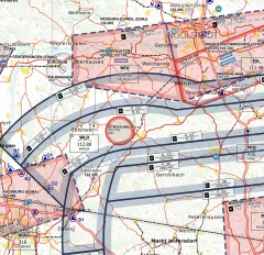
OFMS-Glidermap ED-1 Munich 2025 paper version
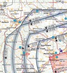
OFMS-Glidermap ED-2 Stuttgart 2025 paper version
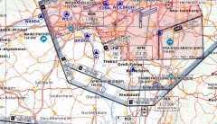
OFMS-Glidermap ED-4 Frankfurt 2025 paper version
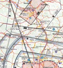
OFMS-Glidermap ED-3 Nuremberg 2025 paper version
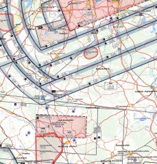
OFMS-Glidermap ED-5 Berlin 2025 paper version
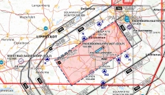
OFMS-Glidermap ED-6 Hannover 2025 paper version
Last viewed:
A product slider follows - navigate to the individual items using the Tab key.
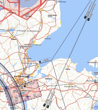
OFMS-Glidermap ED-7 Rostock 2025 paper version
